Location: Shoalhaven
gps Marks Shoalhaven Fishing Spots
Description Comments Latitude S Longitude E DATUM
Berrys Step Snapper. Gravel bottom. 34.52.100 150.54.800
Graveyard 34.52.900 150.54.800
Nowra Hill Snapper, Morwong, Kingfish. 34.53.029 150.49.101 WGS84
Water depth 35m.
34.53.200 150.48.400
Morwong, Snapper, Trevally. 34.53.246 150.49.296
Water depth 27m. Reef bottom.
First Reef 34.53.300 150.48.630
Nowra Hill 34 53.339 150 48.814
3 Mile Reef Snapper, Morwong. 34.53.378 150.48.461
Water depth 36 – 40m.
Reef bottom.
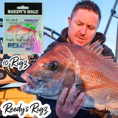
Click to Buy These Pre Made Snapper Rigs
Crookhaven Entrance Navigation mark just outside 34.53.567 150.46.285 AUS66
Crookhaven River.
Middle Ground 34.53.600 150.49.600
Burketts Reef Snapper, Morwong, Kingfish. 34.54.465 150.48.123 WGS84
Water depth 30m.
Inside Reef 34 54.498 150 55.797
Culburra Bombora 34 55.673 150 47.047
Steps 34 56.254 150 54.341
The Mud 34.56.400 150.54.920
Banks North Tuna, Marlin, Kingfish, Bottom 34.56.540 150.56.410
species.
Burketts Inner 34 56.940 150 49.382
The Banks Reef species & pelagic species. 34.56.945 150.55.664
Water depth 23m. Reef bottom.
Kingfish, Marlin, Shark, 34.56.95 150.55.66
Trevally.
Reef complex. Yellowtail 34.56.640 150.56.410
Kingfish, Yellowfin Tuna, Marlin,
Hammerhead Shark, Dolphinfish.
Water depth varying down to 50m.
Burketts 34.57.100 150.48.700
Bills 34.57.100 150.48.480
Banks East Tuna, Marlin, Kingfish, Bottom 34.57.120 150.56.440
species.
Rods Red 34.57.730 150.53.870
Jimmies Hump Snapper, Morwong. Reef bottom. 34 57.264 150 54.693
34.58.420 150.58.720
Berry On Steps Water depth 100 fathoms 34 57.860 151 05.170
Block & Cheese Snapper, Morwong, Kingfish. 34.58.200 150.58.380 WGS84
Water depth 90m.
Banks East Tuna, Marlin, Kingfish, Bottom 34.58.300 150.54.100
species.
Block 34.58.44 150.59.16


